

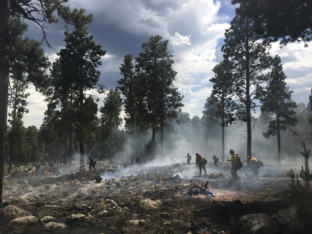
 With the Museum Fire threatening East Flagstaff and the Timberline areas as this article is being written, it reminds us of the ever-increasing threat of catastrophic wildfire and post-wildfire flooding. Coconino County has created a Forest Restoration Initiative in recognition that the most effective way to reduce these threats is through thinning the forest.
In the past 12 months, as the forest restoration director, I have been busy with many projects that support this initiative, including the Bill Williams Mountain Restoration Project. In 2017, the FEMA-funded “Post-Wildfire Debris-Flow & Flooding Assessment for Coconino County” identified the City of Williams among the greatest at risk to post-fire flooding in Coconino County.
A study conducted by Northern Arizona University’s Alliance Bank Economic Policy Institute conservatively estimates a $379 million to $694 million regional economic impact from post-wildfire flooding from Bill Williams Mountain. As a result, the county has partnered with the National Forest Foundation, the Kaibab National Forest and the Arizona Department of Forestry and Fire Management to raise $2.5 million, $800,000 directly from the Coconino County Flood Control District, to fund 300 acres of steep slope thinning with a potential to hand thin up to an additional 500 acres on and around Bill Williams Mountain. The project is expected to begin in September.
In addition to planning and funding steep-slope thinning operations, the county has also purchased an Air Curtain Burner to assist in removing biomass (limbs, tops and needles) that results from thinning the forest. The machine burns forest slash at 2,000 degrees Fahrenheit within a special “box,” utilizing a flow of air over the top of the box to create a “curtain” of air that virtually eliminates smoke and particulate matter from polluting the air. The county plans to mobilize this machine in the Bill Williams Project and areas where slash near communities needs to be burned to reduce the health hazards.
Also, the county, in partnership with the Coconino and Kaibab National Forests, was awarded a USGS grant to acquire LiDAR, a remote sensing technology that uses the pulse from a laser to collect measurements that can then be used to create very accurate 3D models. This data will assist the Flood Control District in studying the Upper Lake Mary watershed as well as the Munds Park/Oak Creek/Sedona watersheds to determine the most critical acres where forest restoration can reduce catastrophic wildfires and subsequent flooding.
As always, Coconino County continues to work with federal, state and local agencies to find ways to protect our communities, our resources and our economies by increasing the pace and scale of forest restoration. A healthy, vibrant forest ecosystem is a key factor in the success and well-being of our citizens, and Coconino County is committed to finding solutions that will greatly reduce the risk we face from catastrophic wildfires each year. FBN
By Jay Smith
Jay Smith is the forest restoration director for Coconino County.